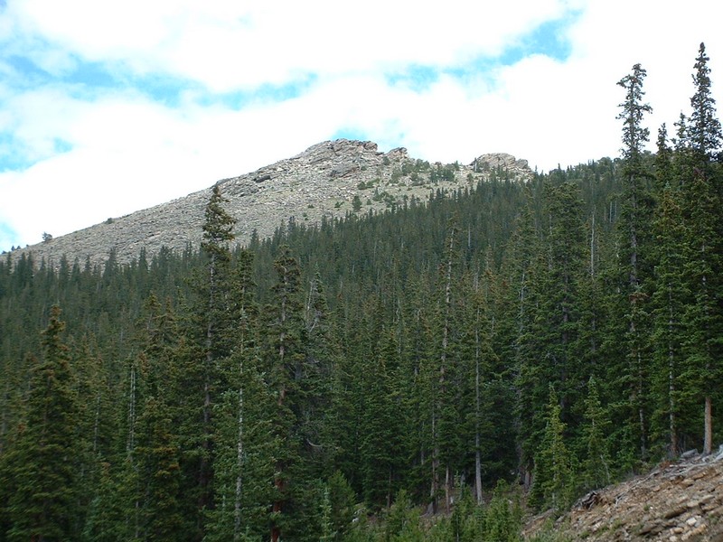
Trip Report (8/7/2003):
Took my wife and daughter on this accessible and enjoyable hike. My wife had questioned my hike selection abilities for quite some time, after a few harder than proposed hikes with her in the past. About half way into this hike, she realized it was on a good trail, short, and in a very scenic area. From the top, you can see Denver, at least 4 14ers (Torreys, Grays, Evans, and Longs), and mountains in all directions. This is a highly recommended hike for the young and old in the Denver area. Of particular enjoyment... the summit block was a surprise, after an hour of trail hiking on trail you get a bit of easy scrambling at the end. The trip from heavy forest, to alpine, then to a rocky outcropping was pretty cool... especially given the short span of the hike.
Trip stats:
Time: 2 hours
Length: 3 miles
Elevation Gain: 1000 feet
Class (difficulty): 2
Drive:We took Interstate 70 west out of Denver. We took the Bergen Park exit and drove until we saw Squaw Pass Road (Colorado Route 103) heading west. Once on the road, we followed it about 12 miles to a place where there was a wide parking area on the right hand side of the road and we could glimpse orange ski towers through the trees below us.
Hike: Across from the parking area, you will see a faint trail heading into the trees. Follow this trail for about .2 miles, when it intersects an old road. Cross the road and stick to the trail. The trail eventually gets to the saddle between Chief Mountain and Papoose Mountain, then turns west and starts to circle the peak. Eventually, it switchbacks to the rocky summit.
Pictures: Click on the pictures below to see the full-size version.
My wife and daughter heading up the trail at 11000 feet.
The view north from the summit.
All of us on top.
Grays and Torreys Peak, which I had climbed the day before.