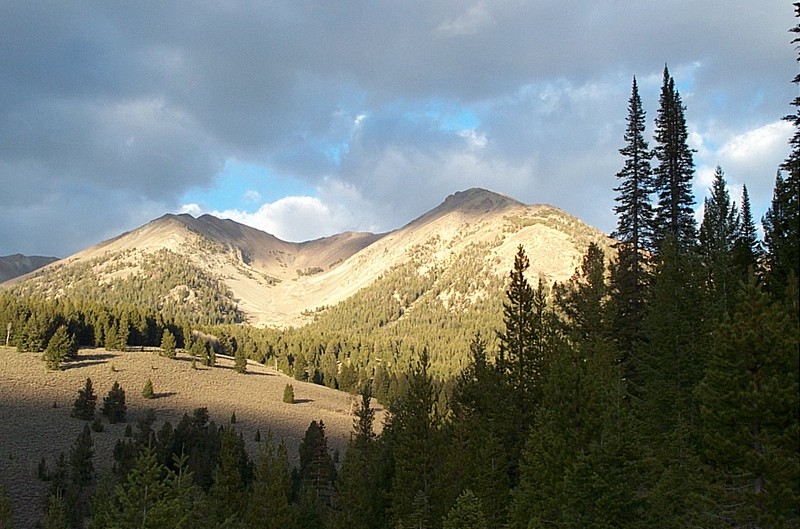
Looking towards Easley Peak after the hike. (Zach Vickery photo.)
Trip Report (10/20/2002):
I climbed Easley Peak with 4 others (Carrie, Greg, Zach, and Peg). Having just recovered from surgery, Peg got within a few hundred feet of the summit before stopping.
I enjoyed the peak, the route just goes straight up from ID-75. From the top, the usual suspects are in view -- Castle Peak, the Sawtooths, the Pioneers, etc...
Our time on the summit was limited, as the day was getting late and it was rather cold. The next day, the area received its first snowfall of the year.
Trip stats:
Time: 8 hours (estimate, don't remember)
Length: 7 miles
Elevation Gain: 4100 feet
Class (difficulty): 2
Directions:
From Ketchum, drive north on ID-75. About 2 miles north of the Prairie Creek campground, turnoff onto the right side of the road. Here there is a small parking area. You'll be taking the old road leaving that parking area heading east.
Route:
Just follow the road east. Quickly, you will reach a fork and it will seem like you want to go left... GO RIGHT! Follow the right fork up to a beautiful ridge with quaking aspens. At the end of the road, just make a b-line for the west ridge of Easley. Be advised that there are several false summits. Just above the timberline is an abandoned mine shaft.
Pictures: Click on the pictures below to see the full-size version.
The summit team, minus Zach. (Zach Vickery photo.)
Castle Peak taken from the top of Easley.
The Pioneer range from the summit of Easley.
Looking down at the route.
Looking towards the Sawtooth Range. (Zach Vickery photo.)